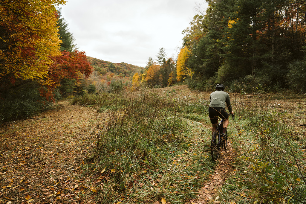
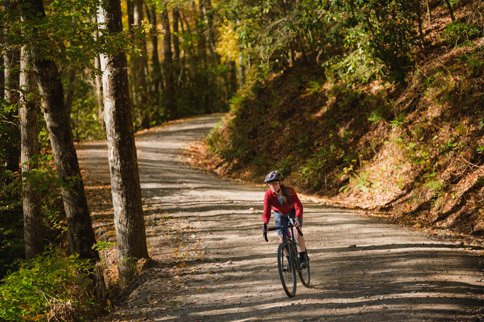
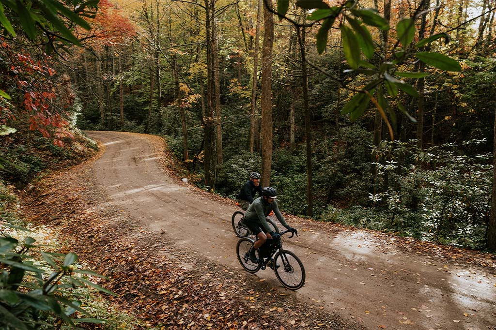
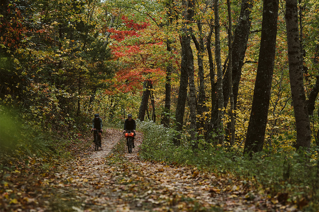
Gravel Cycling
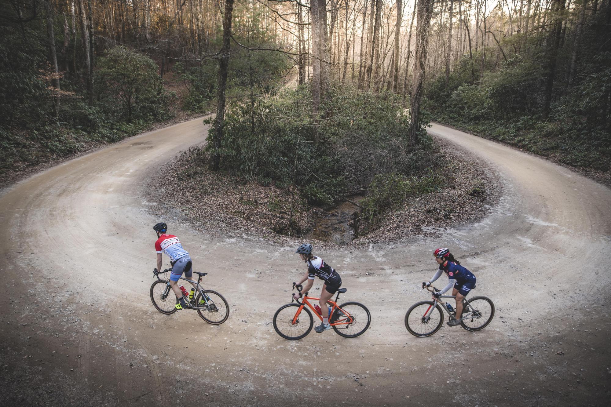
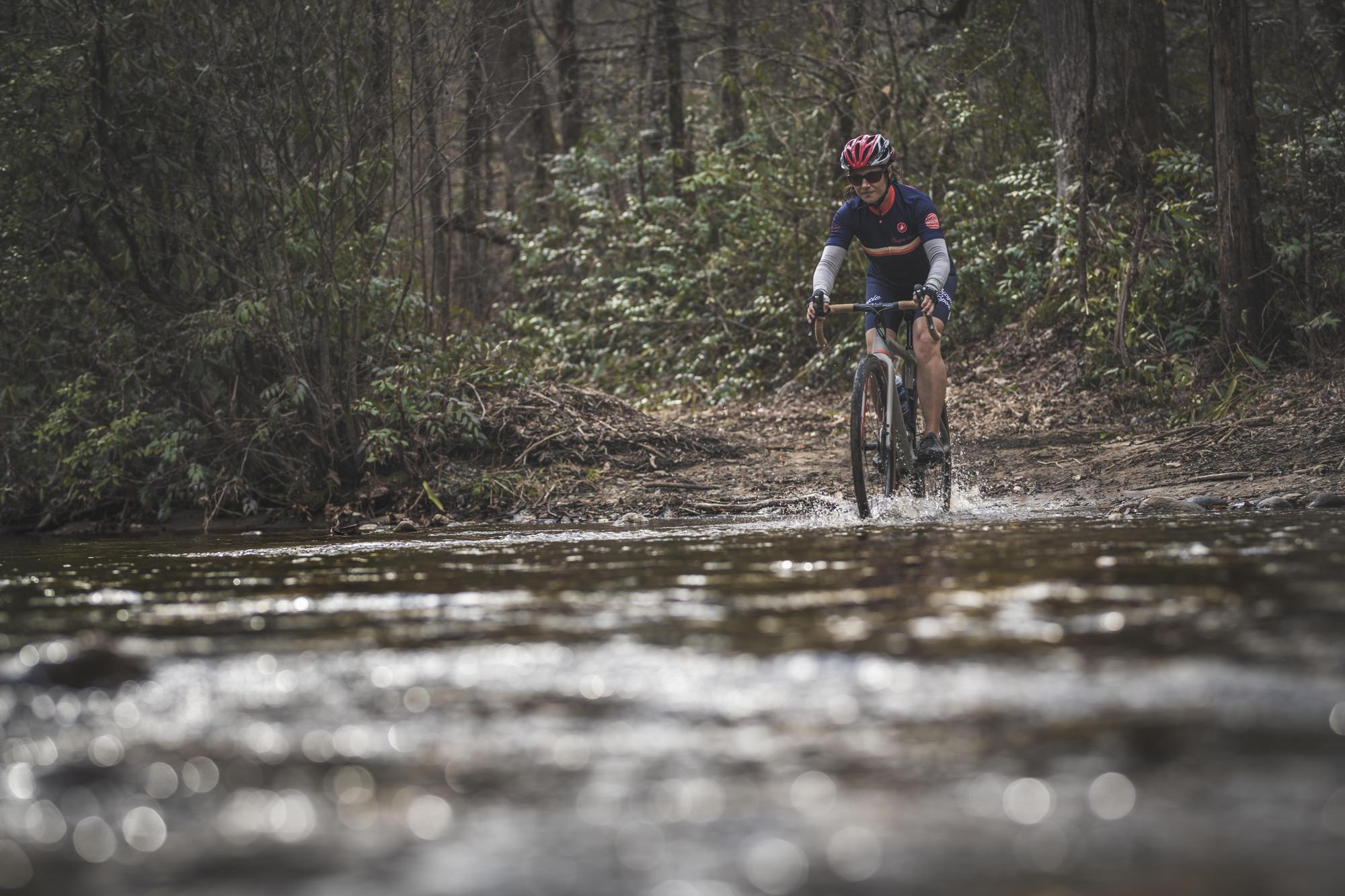
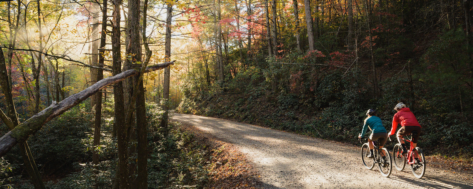
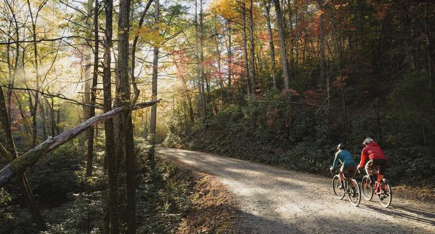
Western North Carolina offers a vast network of forest service roads and trails with significant elevation to comprise one of the most iconic cycling destinations in the world. Riders are in for sustained climbing, winding switchbacks, and long descents along hundreds of miles of gravel within Pisgah National Forest, Bent Creek Experimental Forest, and DuPont State Forest.
Explore hundreds of miles of forest service roads and single track trail cross more than half a million acres. The Pisgah Ranger District provides connection points to Bent Creek Experimental Forest and the Blue Ridge Parkway. More gravel routes are waiting to be discovered around Linville Gorge, Maggie Valley, and DuPont State Forest, among many other destinations.

Check out more gravel riding resources at Gravelmap.


Map
Select routes and segments for gravel rides and access information